
Porongurup History
Ancient geological history
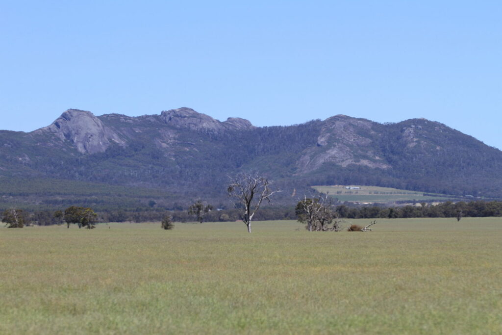
The Porongurup Range was formed more than 1.1 million years ago. Originally much higher than today, the range was slowly worn down by erosion, leaving behind rounded granite domes and peaks. Famous formations like Castle Rock and the Balancing Rock are results of this long erosion process.
Aboriginal history (tens of thousands of years)
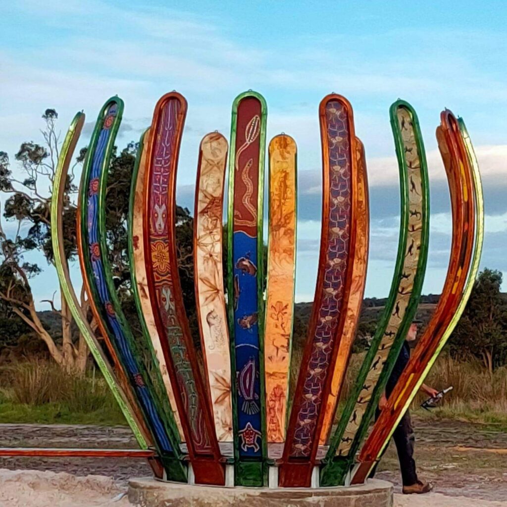
The area is part of Noongar Country. The Porongurup Range was known to the original inhabitants as Borongur. There are four Noongar Aboriginal peoples of the Albany Region, the Wirlomin people (Gnowangerup), Bibbulmum people (Denmark) and the Goreng people (Plantagent/Gnowangurup and Kattaning), who all consider the Porongurup Range particularly important- both culturally and spiritually.
European exploration and settlement (1800s)
Europeans first explored the region in the early–mid 1800s. Settlers were attracted by: fertile soils, reliable rainfall and timber resources
Late 1800s–1900s
The surrounding land was cleared for farming, while the steep rocky areas remained mostly untouched. Roads, small settlements, and farms developed in the foothills.
1828 June- Captain Joseph Wakefield led an expedition inland to map the Kalgan River and explore the mountains called Purrengorup. Wakefield’s party, led by Aboriginal guides, Mokare and Nankina, ascended the hill on the eastern side of the range and enjoyed clear views to Corjernurruf (Stirling Ranges) (Mulvaney & Green 1992; Herford & Burchell 1996).
1859- The Porongurup Range attracted the attention of early European settlers at King George Sound because of the richer green foliage of the karri contrasting with the surrounding country. The first pastoral lease which later became part of the Porongurup Range was granted to John McKail in 1859
1900– Logging of karri and jarrah commenced in the early 1900s, and the Porongurup area once supported several timber mills.
1913- the local community erected Porongurup Hall for £110, and it was initially used as a school for the growing district.
1920s- Bolganup Homestead and Karribank opened as guest houses
– Porongurup Cricket team established
1923- Porongurup Hall Extension
1924- Porongurup School closed
1925- Porongurup Range was entered as a reserve in the state system, with plans to consider it a national park
1926- Porongurup Range gazetted as a National Park
1935- Porongurup Hall extension
1942- Porongurup fire brigade formed
Biodiversity
Porongurup National Park is part of an internationally recognised ‘biodiversity
hotspot’ in the south-west region of Western Australia. It also has one of the richest varieties of plants in Australia with more than 700 native species within the park’s 2,621 hectares. With its diverse wildlife, tall karri and open jarrah forests, and massive granite domes.
Porongurup National Park is also significant for a number of invertebrates linked to the Gondwanan supercontinent, which broke apart some 150 million years ago. Isolated several times by higher sea levels, most recently around 55 million years ago, the cool mountain gullies within Porongurup National Park serve as a haven for insects, primitive spiders and land snails more closely related to invertebrate species found in mountainous areas of eastern Australia or on other Gondwanan continents such as South Africa, than to the drier, low-lying areas surrounding the range.
Examples of plant groups which contribute to this outstanding richness include: flame-peas (Chorizema), rice flowers
(Pimelea), native myrtles (Myrtaceae), kangaroo paws (Haemodorales) and banksias (Proteales).
Porongurup today
2007- Porongurup Range suffered a significant fire.
2009- became heritage-listed.
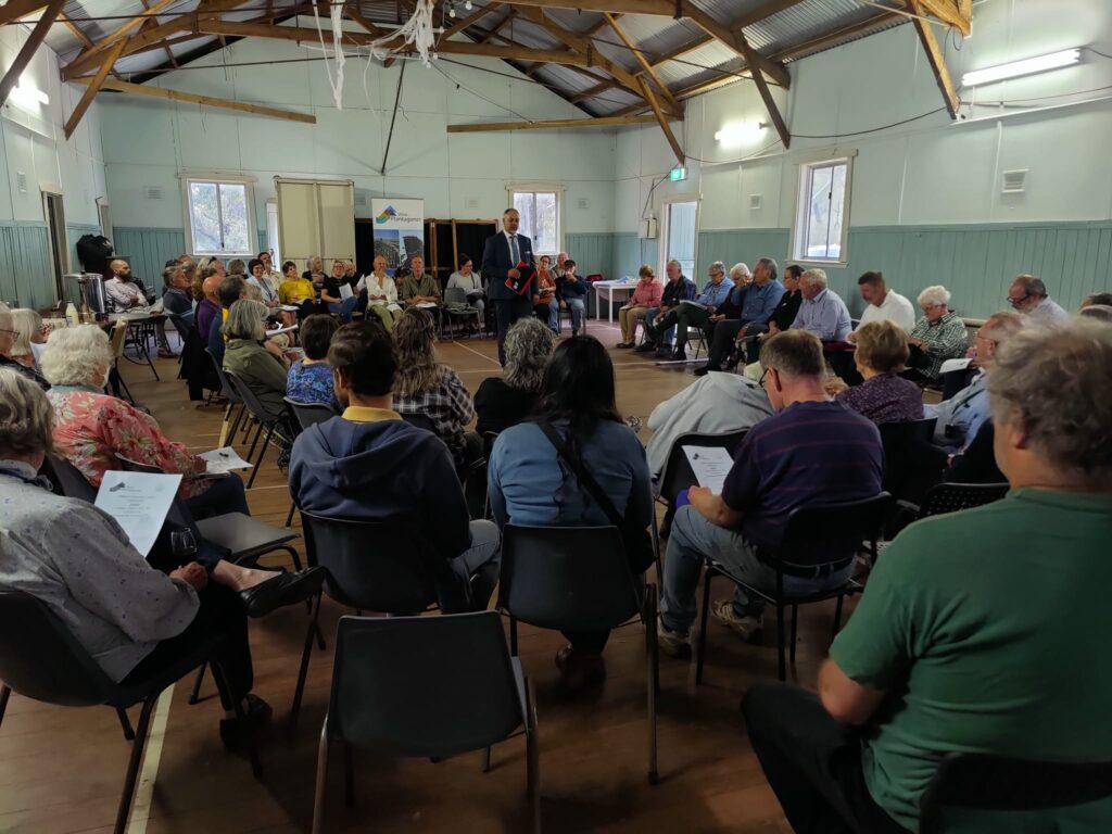
Now populated by 342 people (2021 ABS) valued for:
Agriculture
Tourism
Wine growing in nearby regions
Conservation
Art